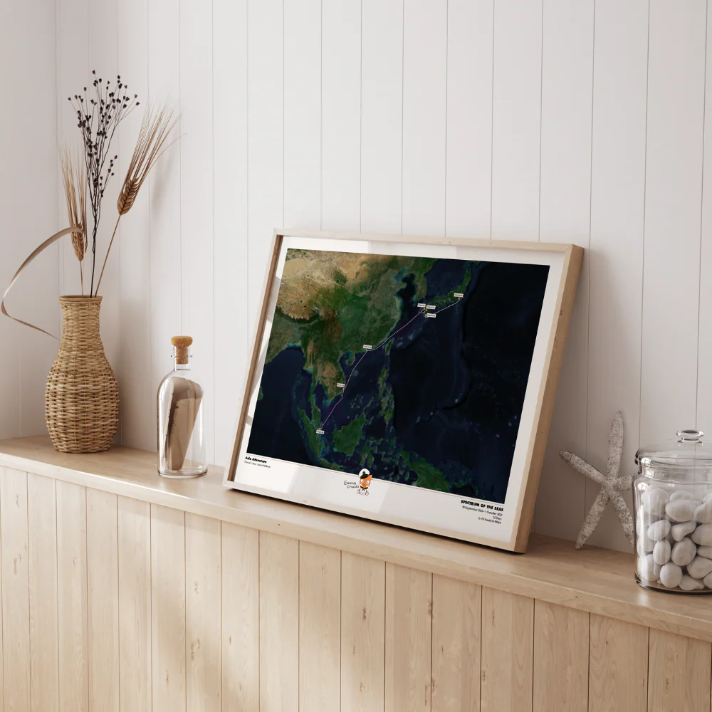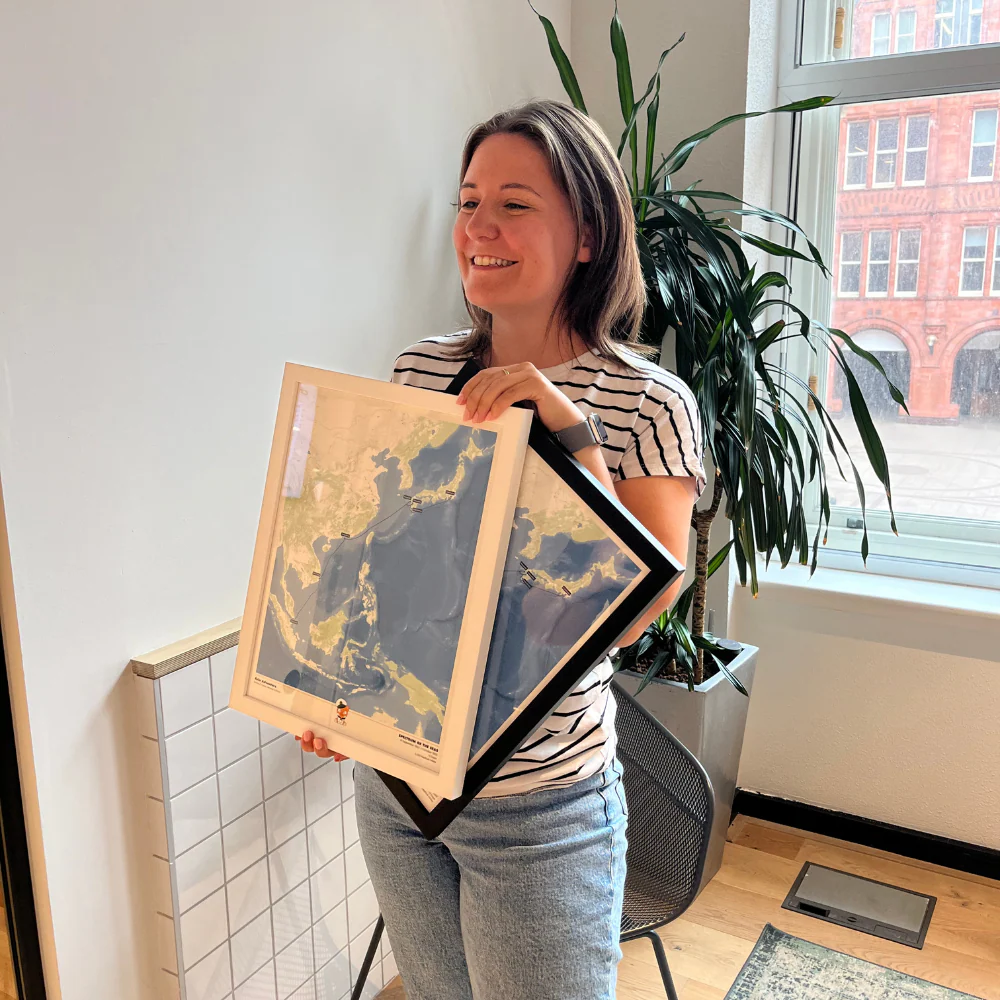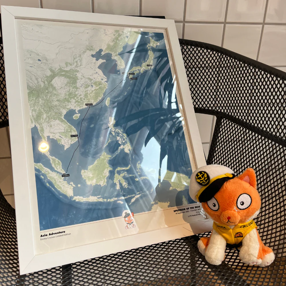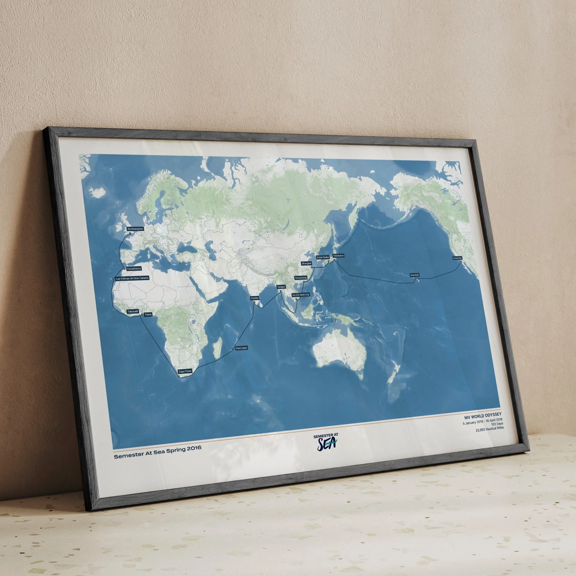
Paul and Carole Members Cruise Map (Queen Victoria 2026) - Satellite
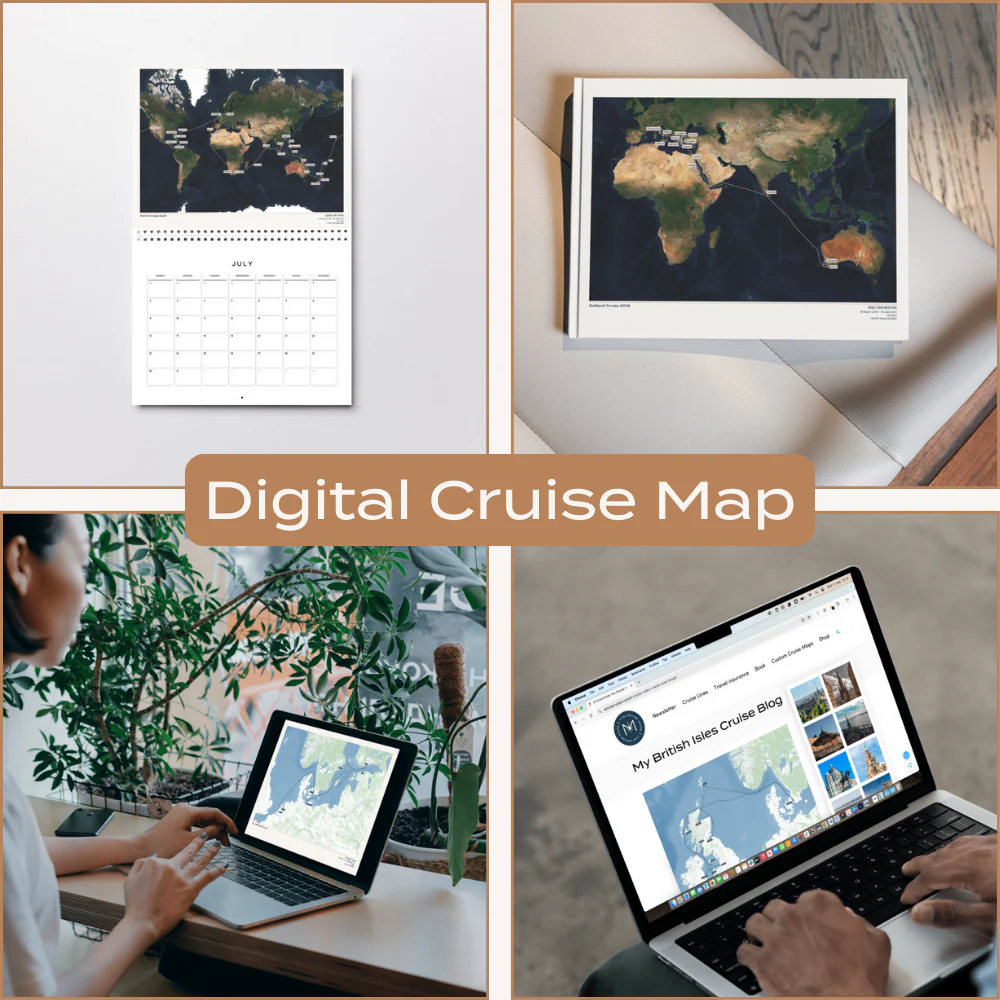
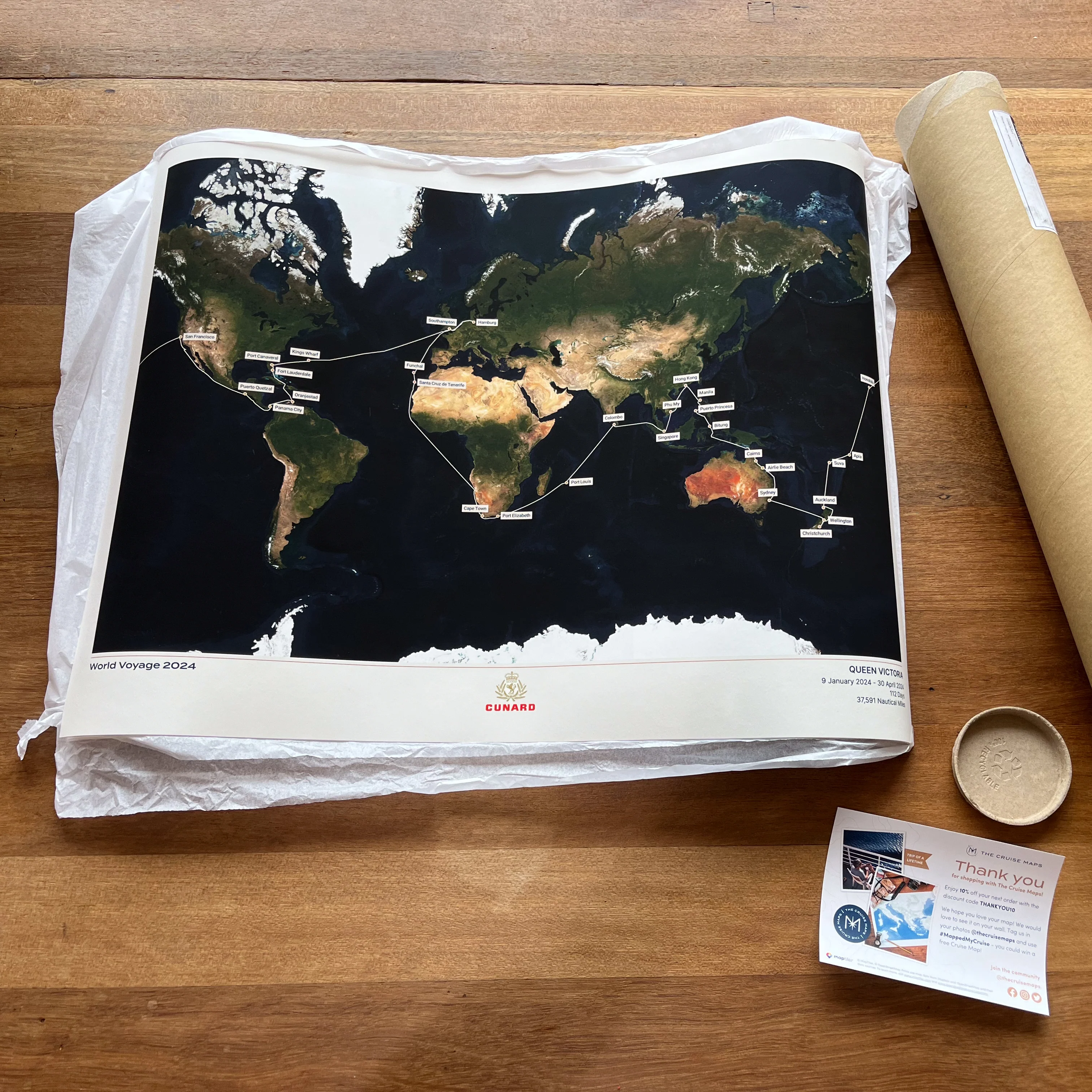
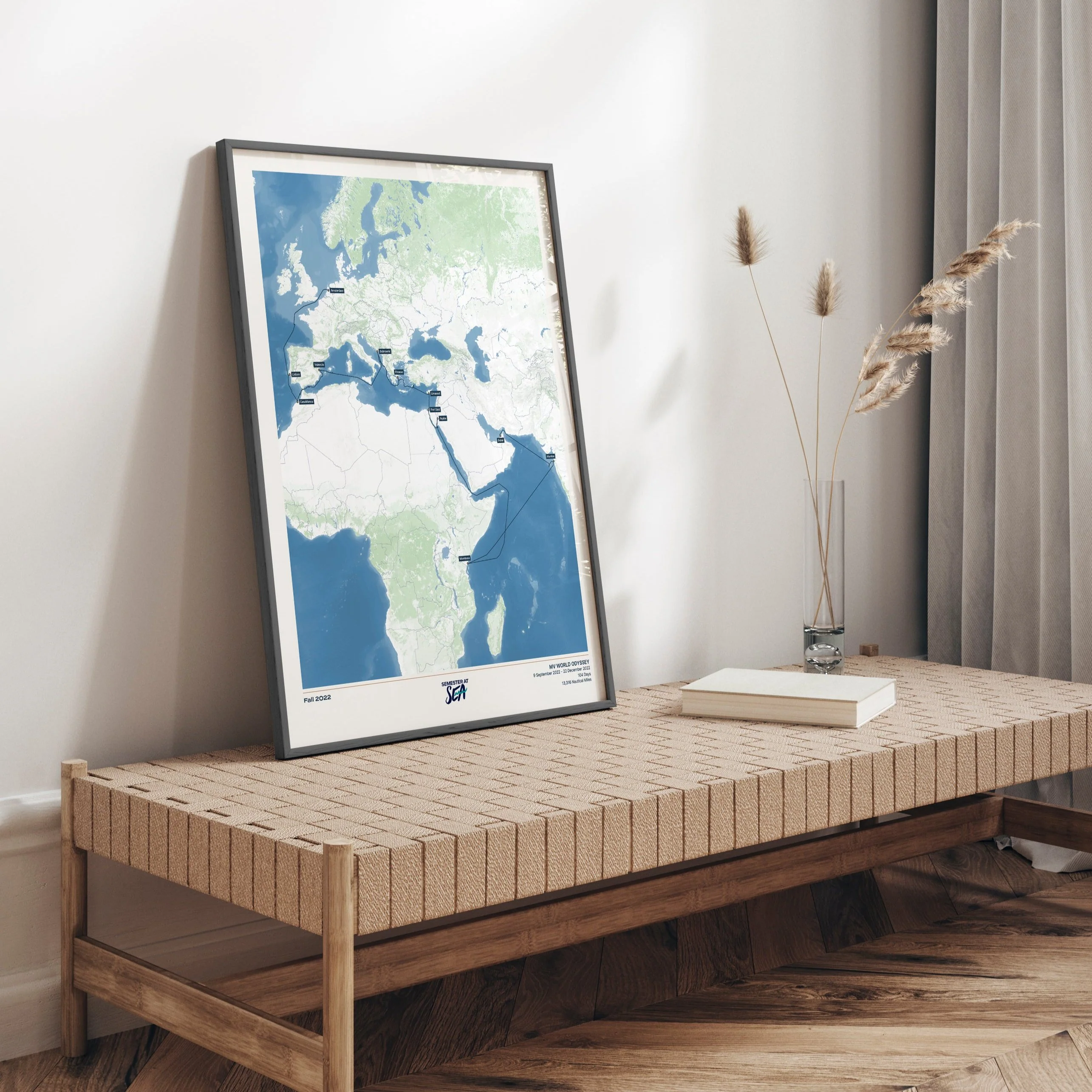
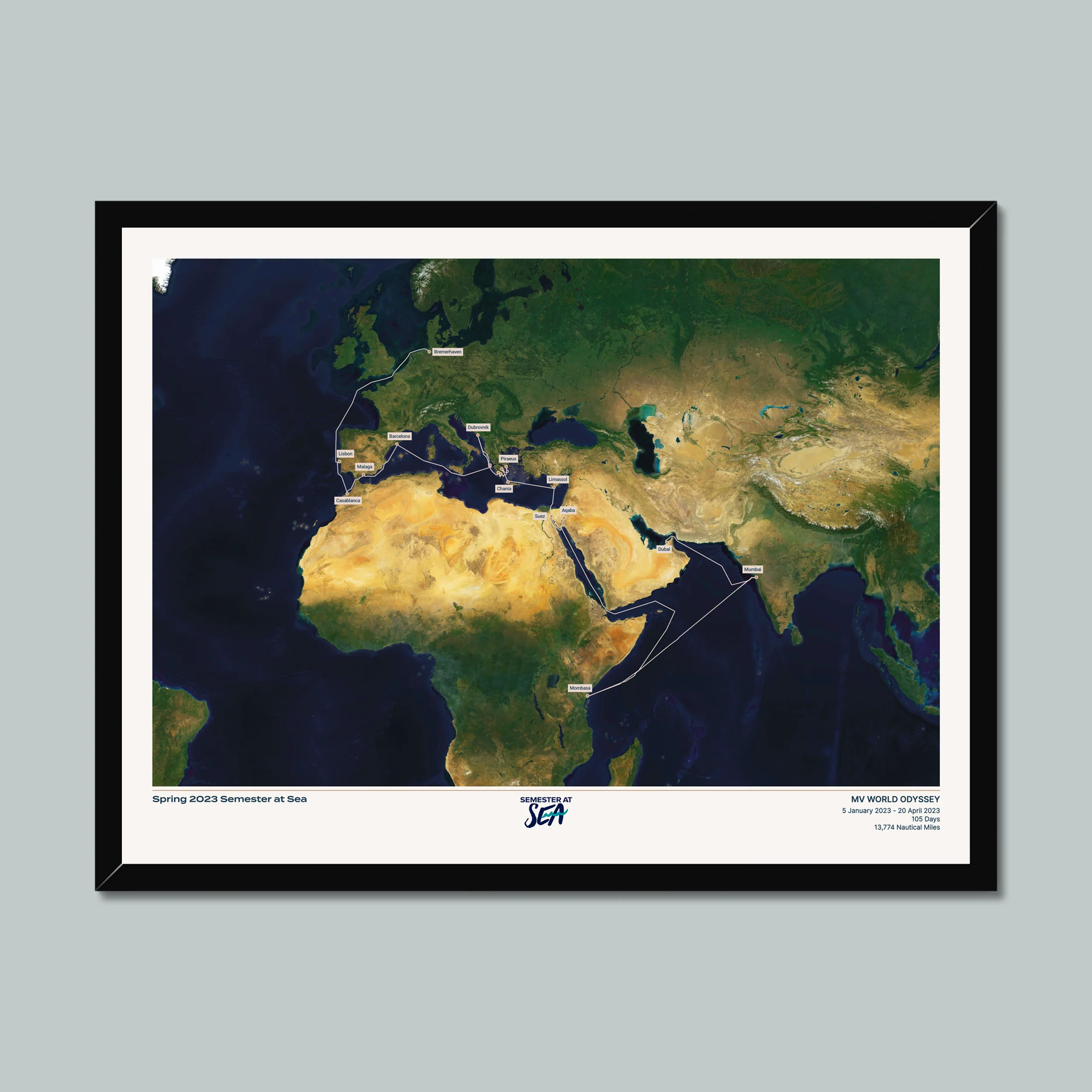
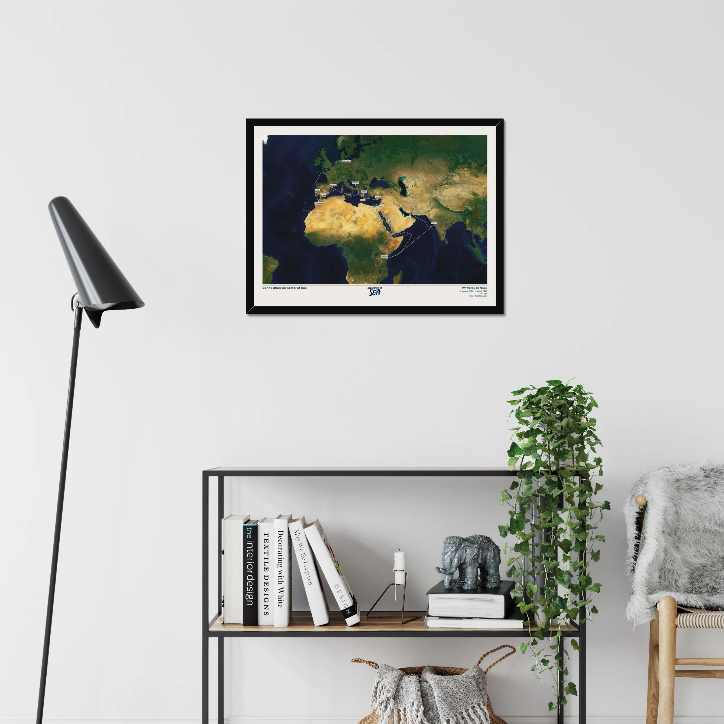
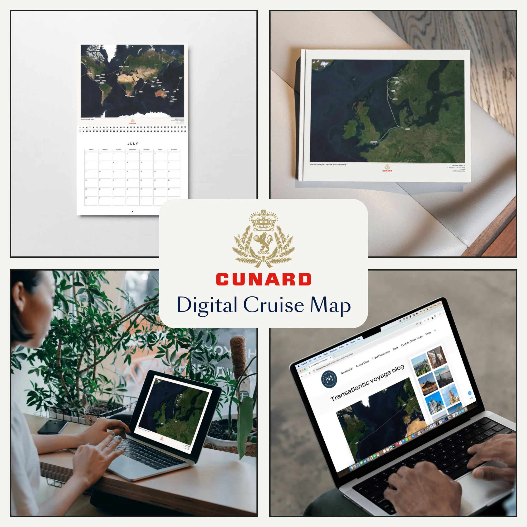
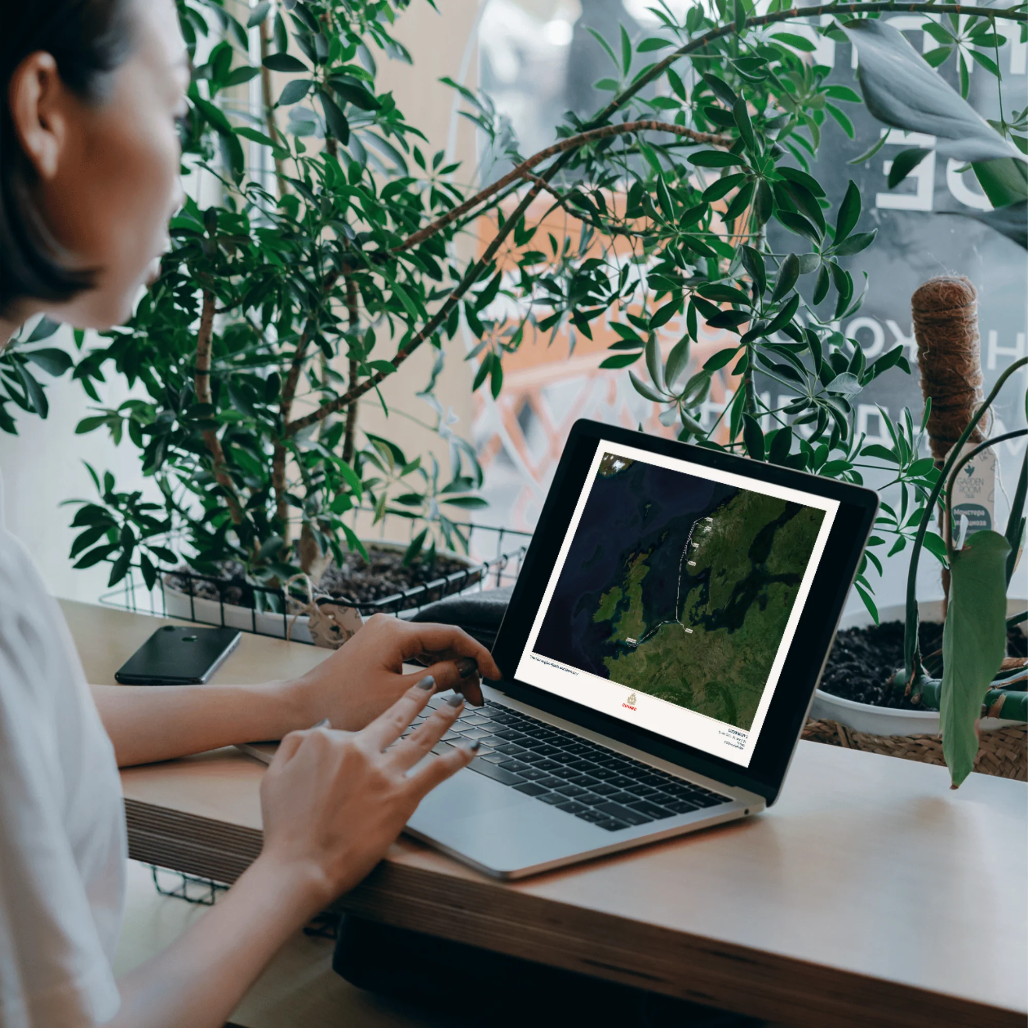
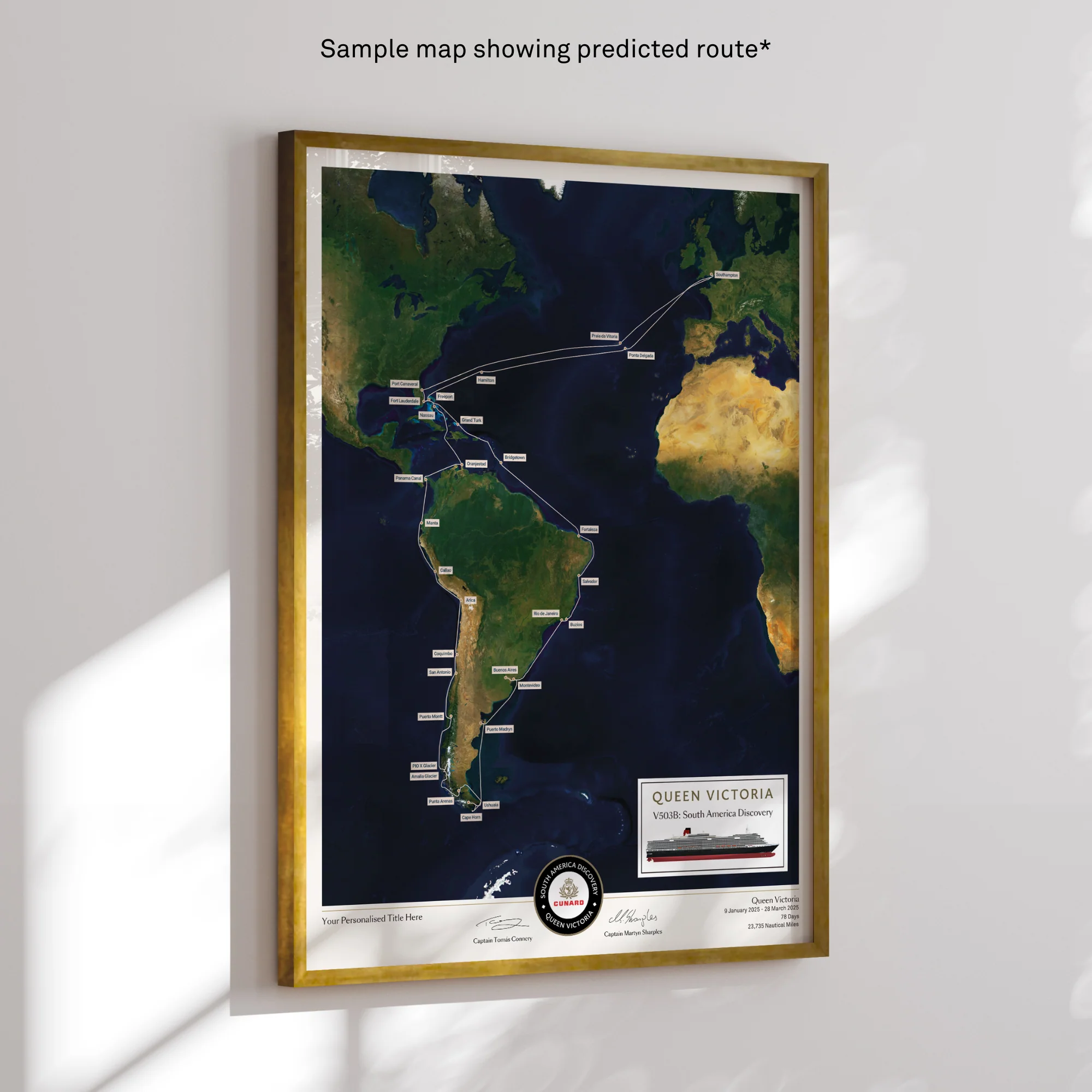
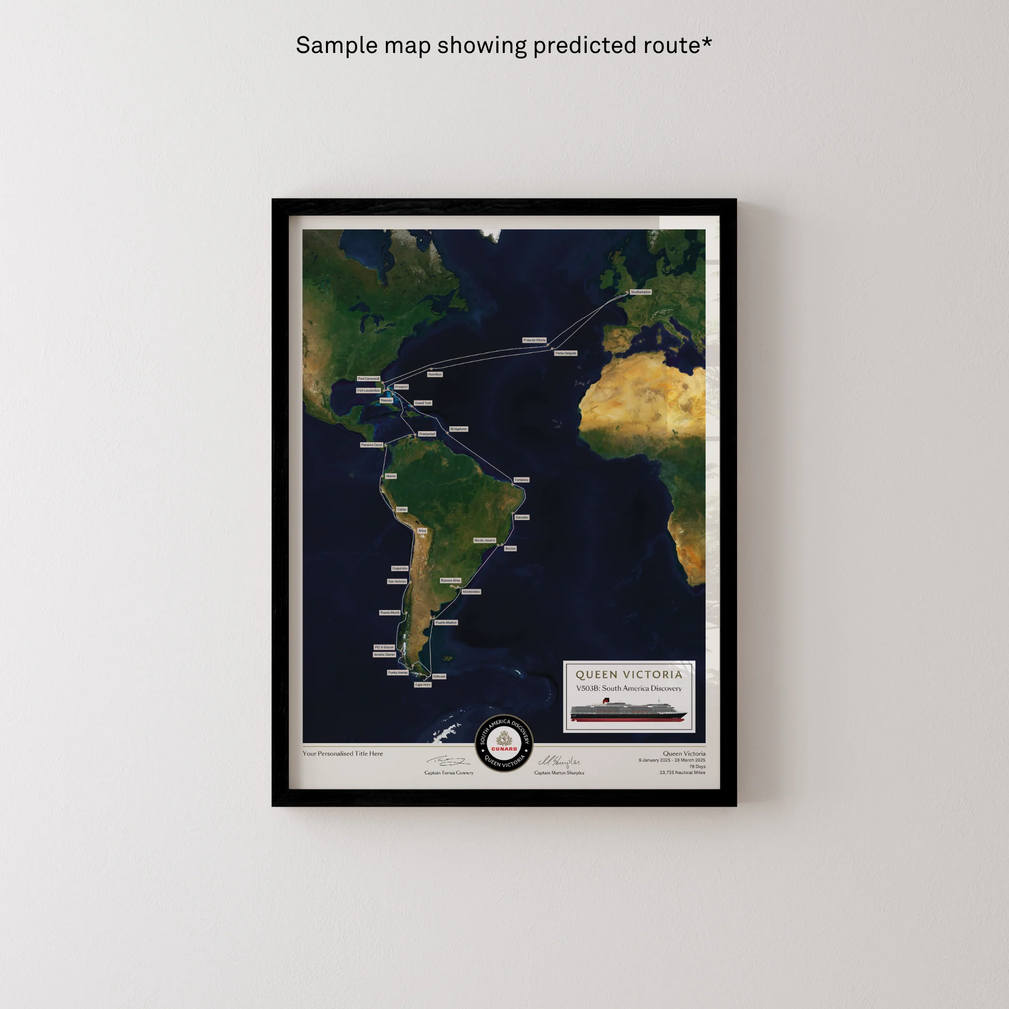
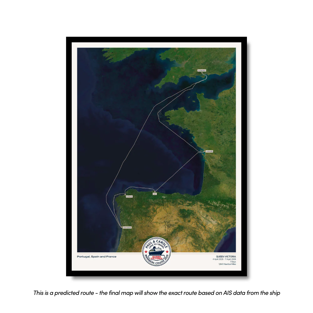
The official map of Paul and Carole's Members Cruise aboard Queen Victoria, 2026!
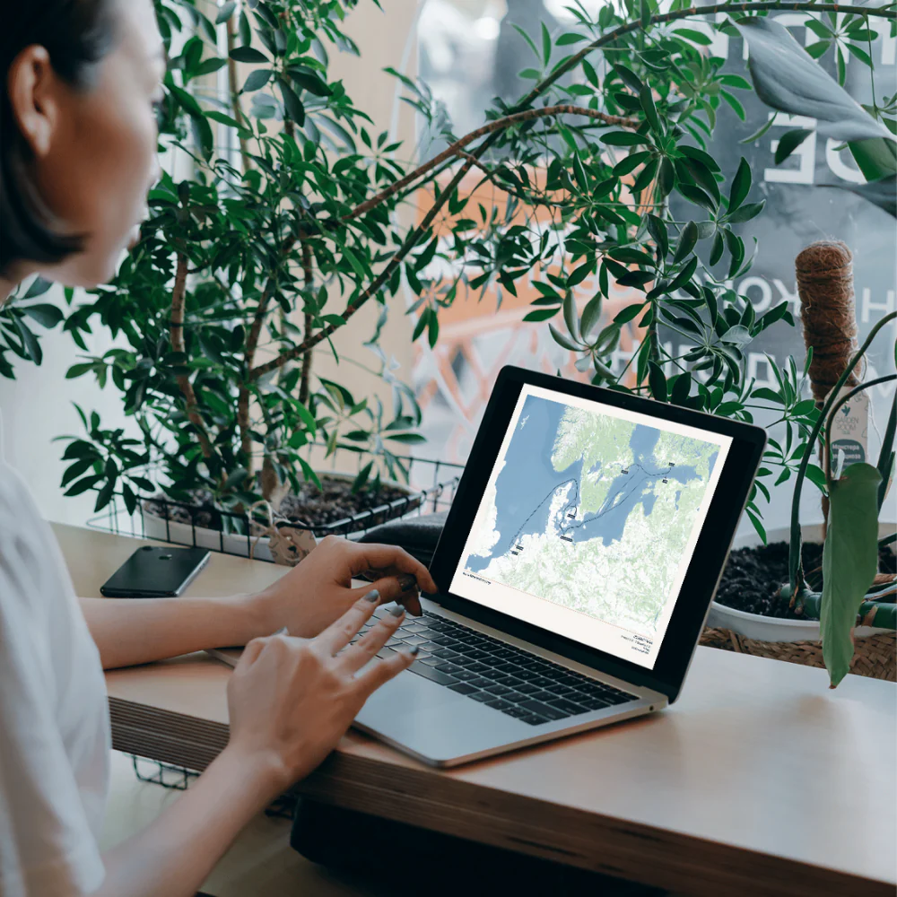
Each map is made to order using AIS (satellite ship-tracking) data to show where you actually went, rather than just the itinerary route. Just give your map a title and we'll do the rest.
Start your collection now. Get a FREE cruise album when you buy any 5 Album Size maps. Simply add your Album Size maps and Cruise Album to cart and the discounts will apply automatically - see here for details
Product Details:
Sizes:
- Album Size (A4) - 21x29.7cm (8.3x11.7") [Album sold separately]
- 30x40cm or 12x16” (location dependent)
- 45x60cm or 18x24” (location dependent)
Quality:
- Giclée printing technology
- 200gsm "fine art" paper
- Smooth texture, matt finish
Professional Framing Process:
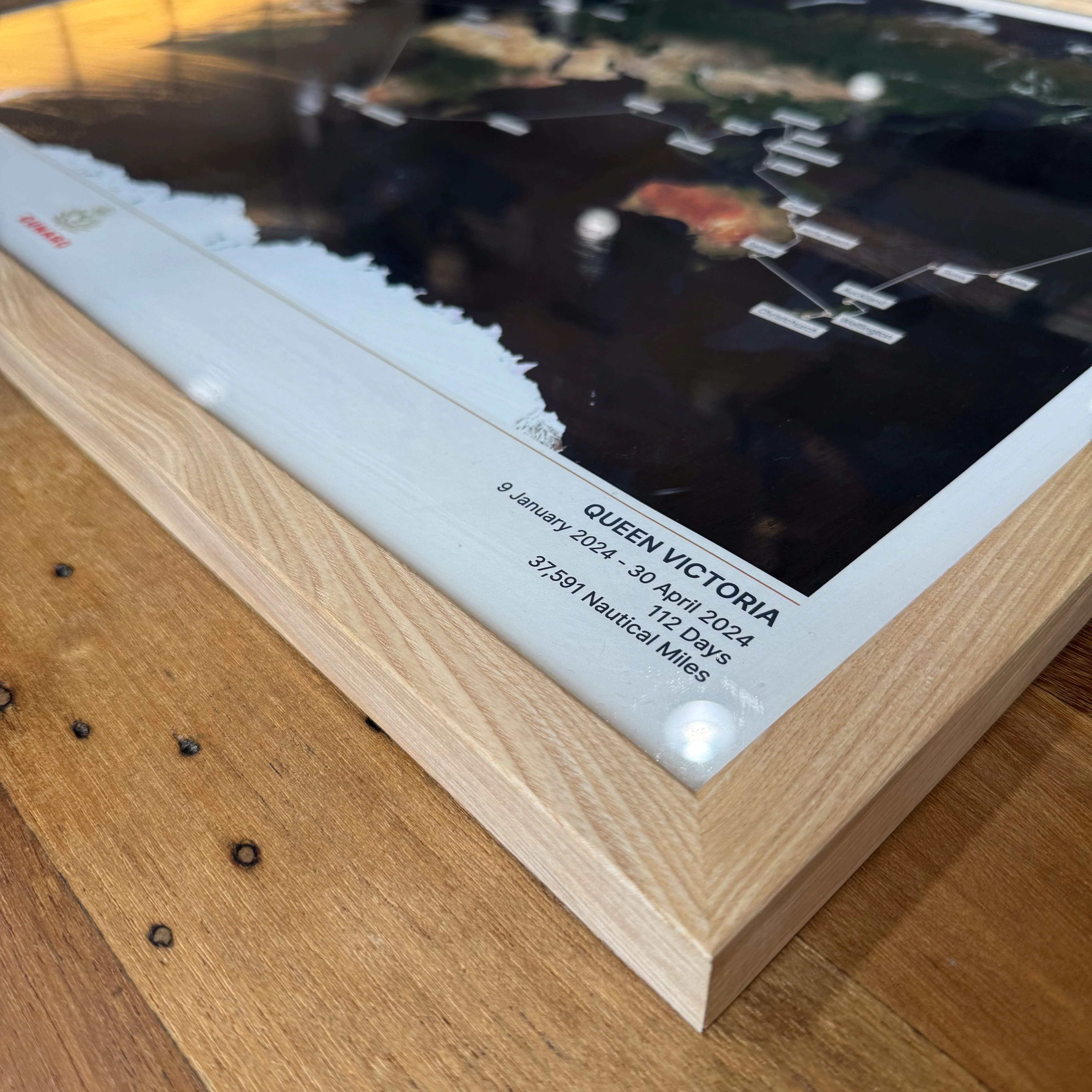
- Mounted on foam board to provide durability
- Frames hand-crafted using sustainably sourced wood
- Taped back to provide a protective and premium finish
- Delivered ready to hang
The official map of Paul and Carole's Members Cruise aboard Queen Victoria, 2026!
Each map is made to order using AIS (satellite ship-tracking) data to show where you actually went, rather than just the itinerary route. Just give your map a title and we'll do the rest.
Start your collection now. Get a FREE cruise album when you buy any 5 Album Size maps. Simply add your Album Size maps and Cruise Album to cart and the discounts will apply automatically - see here for details
Product Details:
Sizes:
- Album Size (A4) - 21x29.7cm (8.3x11.7") [Album sold separately]
- 30x40cm or 12x16” (location dependent)
- 45x60cm or 18x24” (location dependent)
Quality:
- Giclée printing technology
- 200gsm "fine art" paper
- Smooth texture, matt finish
Professional Framing Process:
- Mounted on foam board to provide durability
- Frames hand-crafted using sustainably sourced wood
- Taped back to provide a protective and premium finish
- Delivered ready to hang
Original: $73.81
-65%$73.81
$25.83Description
The official map of Paul and Carole's Members Cruise aboard Queen Victoria, 2026!
Each map is made to order using AIS (satellite ship-tracking) data to show where you actually went, rather than just the itinerary route. Just give your map a title and we'll do the rest.
Start your collection now. Get a FREE cruise album when you buy any 5 Album Size maps. Simply add your Album Size maps and Cruise Album to cart and the discounts will apply automatically - see here for details
Product Details:
Sizes:
- Album Size (A4) - 21x29.7cm (8.3x11.7") [Album sold separately]
- 30x40cm or 12x16” (location dependent)
- 45x60cm or 18x24” (location dependent)
Quality:
- Giclée printing technology
- 200gsm "fine art" paper
- Smooth texture, matt finish
Professional Framing Process:
- Mounted on foam board to provide durability
- Frames hand-crafted using sustainably sourced wood
- Taped back to provide a protective and premium finish
- Delivered ready to hang